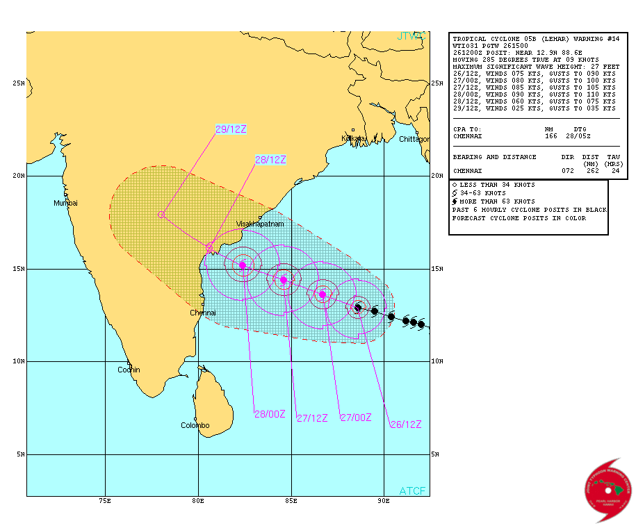
Current Weather Conditions on 26th November 2013 @ 6.30 pm.
Very Severe Cyclonic Storm “LEHAR” was located at Lat. 12.9N. & Long. 88.6E. has crossed over East Central Bay of Bengal to West Central Bay Of Bengal. Central Pressure is 982 Mb. Winds are 75 knots. The Cyclone center is about 810 Kms. Southeast of Kakinada and 875 Kms. Southeast of Machilipatnam both places of Andhra Pradesh. Currently the System is tracking West Northwestwards at about 16 Kms./hour.
JTWC Tropical Cyclone 05B (Five) Warning #14
Issued at 26/1200Z
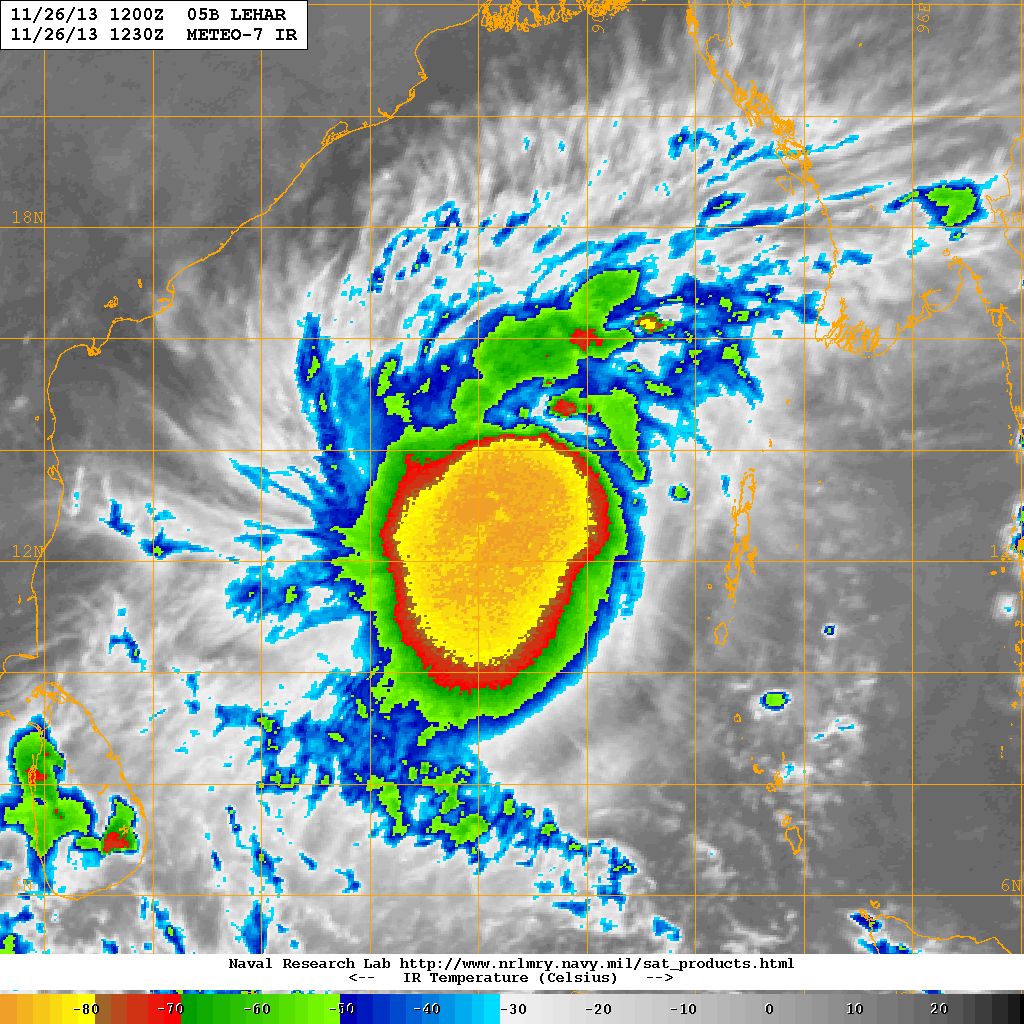
NRL IR Satellite Image Of 05B.FIVE – Very Severe Cyclonic Storm “LEHAR”
on 26th November 2013 at 1230 UTC ( 6.00 pm. IST)
From IMD Bulletin No.: BOB07/2013/22 issued at 1630 hours IST Dated 26-11-2013
(Orange Message)
Sub: Very Severe Cyclonic storm ‘LEHAR’ over Southeast & adjoining west central
Bay of Bengal: Cyclone Warning for Andhra Pradesh coast
The very severe cyclonic storm ‘LEHAR’ over southeast Bay of Bengal moved west-northwestwards with a speed of 16 kmph during past six hours and lay centred at 1430 hours IST of today, the 26 November 2013 over southeast & adjoining west central Bay of Bengal near latitude 13.00 0 N and longitude 89.00 0 E, about 430 km west-northwest of Port Blair, 920 km east-southeast of Machillipatnam, 850 km east-southeast of Kakinada and 780 km southeast of Kalingapatnam. The system would intensify further and move west-northwestwards and cross Andhra Pradesh coast between Machillipatnam and Kalingapatnam near Kakinada around 28 November noon.
Note: Refer/Rely on IMD/RSMC/ Bulletins/Advisories
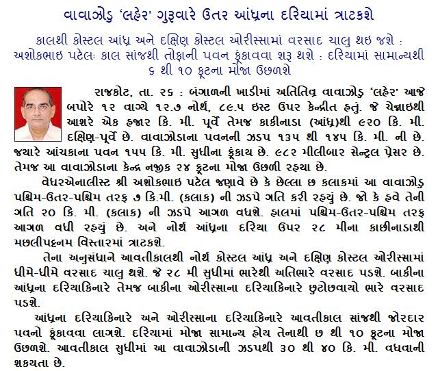
Weather Forecast In Akila Daily Dated 26th November 2013