Current Weather Conditions on 29th October 2012 @ 9.00 am.
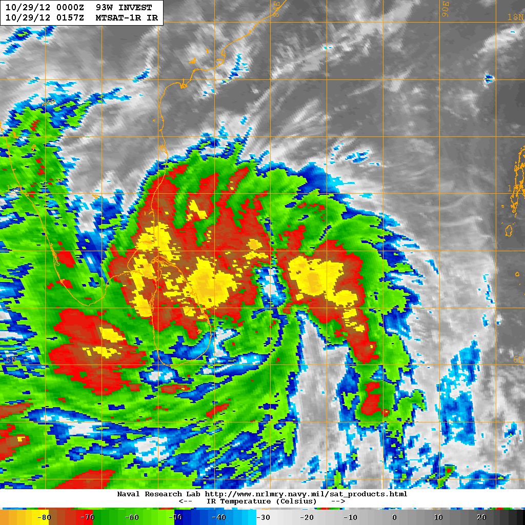
As per JTWC 93W.INVEST – Depression over Bay of Bengal has winds of 30 Knots and 1000 Mb. Pressure located at 9.6N & 83.7E about 450 kms. East from Taminadu Coast.
NRL Satellite Image of Depression Over Bay Of Bengal
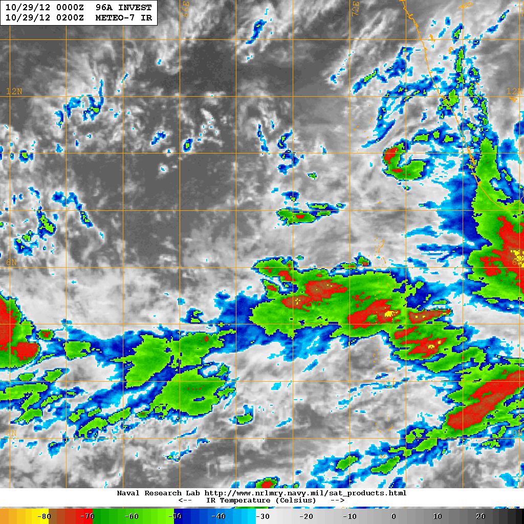
Satellite Image of 96A.INVEST over Arabian Sea
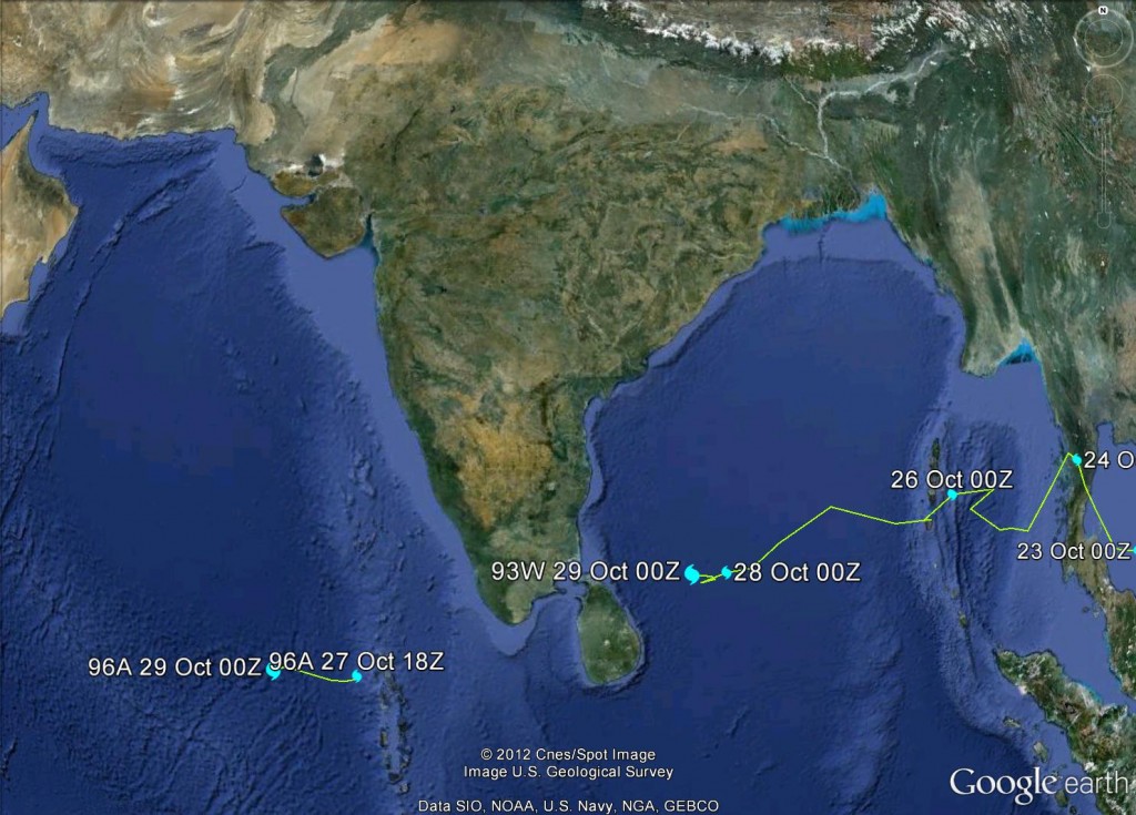
Track Of Both The Systems Up To 29th October 0000 UTC
IMD had given a Pre-Cyclone Watch for North Tamil Nadu and Puducherry Coasts at 0200 IST today. Currently the system has gained strength and and upgrade by IMD is expected.
GFS Forecast run of 1800z indicates that the Bay of Bengal system will track Westwards towards Northeast Srilanka and then from 30th October track northwards and make landfall just South of Chennai on 31st October. It is important to keep in mind that with every 6 hours GFS forecast runs have been changing the track of the current system in the Bay of Bengal. It is better to keep vigil regarding heavy rain as well as Strong winds for Srilanka and Tamilnadu and adjoining areas.


