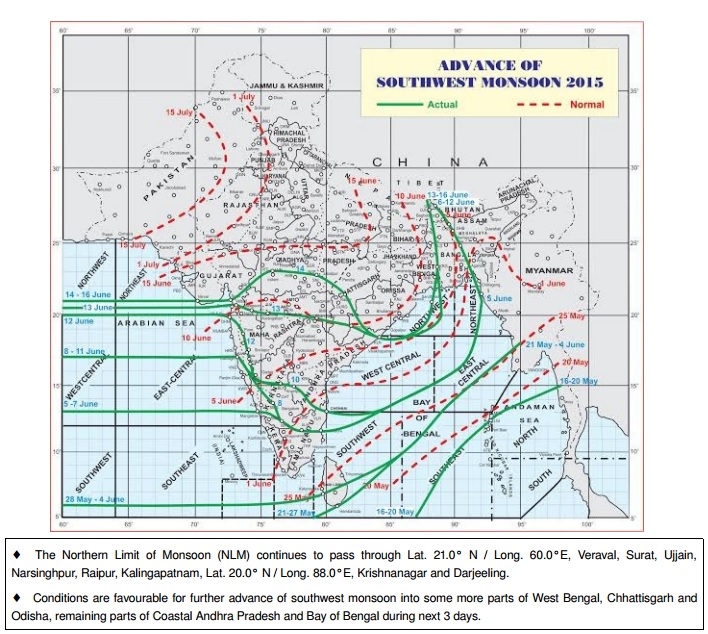
There has been above normal rainfall activity over many parts of Saurashtra & Gujarat. Kutch has been left out of this till yesterday. Good rainfall has occurred over Rajkot, Gondal and many centers from Amreli District and many centers of Gir Forest and some centers of Bhavnagar District. Many major centers South of Rajkot/Gondal has not received significant rainfall during this period till 15th June. Hence the Northern Limit of Monsoon is yet over Veraval.
There is an Off-shore monsoon trough that extends from South Gujarat to North Kerala coast.
As a prelude to Axis of monsoon trough an East West trough at mean sea level runs from Northwest rajasthan to Uttar Pradesh, North Odisha & to Odisha and extends up to 0.9 km above mean sea level.
An Upper Air Cyclonic Circulation ( UAC ) lies over West Central Bay of Bengal vicinity of North Andhra and SOuth Odisha Coast at 5.8 km above mean sea level.
IMD Advance Of Southwest Monsoon 2015 on 16th June 2015
લીલી લીટી છે તે ચોમાસું રેખા છે.
આજે દક્ષીણ પશ્ચિમ ચોમાસું ક્યાંય નથી ચાલ્યું. એનો મતલબ એમ છે કે ગઈ કાલે ખાસ નવા વિસ્તાર માં વરસાદ ના હતો એમ સમજવું. આજે દેશ માં નવા વિસ્તાર માં વરસાદ હશે તો એક બે દિવસ માં તે વિસ્તાર ને આવરી હવામાન ખાતું ચોમાસું આગળ ધપાવશે.
સામાન્ય રીતે ચોમાસું કઈ તારીખે ક્યાં પોંચે તે પણ દર્શાવેલ છે
IMD Map Showing Animation Of Normal Onset Of Southwest Monsoon Over India
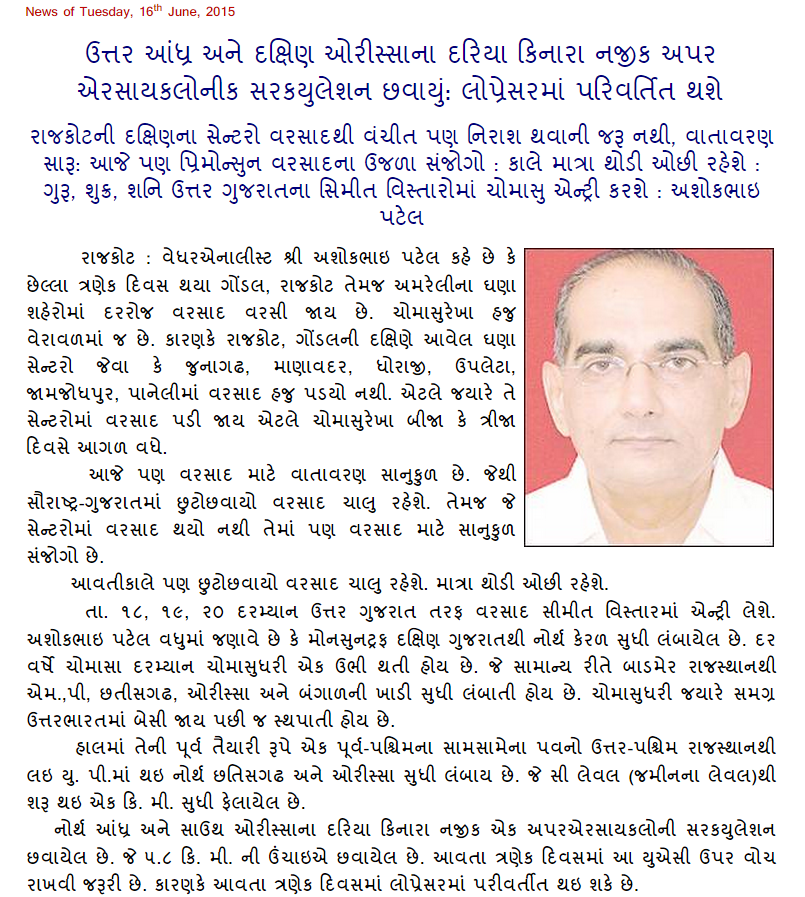
Weather Forecast In Akila Daily Dated 16th June 2015
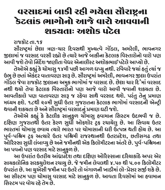
Weather Forecast In Sanj Samachar Daily Dated 16th June 2015