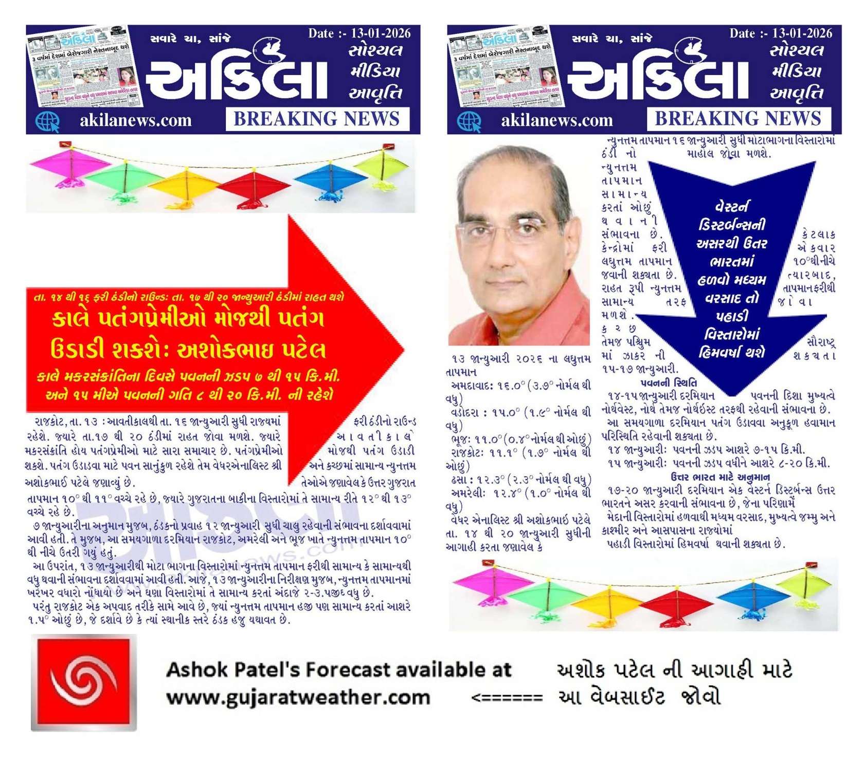
Enjoy Makar Sankranti With Kite-Flying Winds on 14–15 January; Cooler Mornings Till 16th, Then Recovery During 17–20 January Over Saurashtra, Gujarat & Kutch
Current Weather Conditions — 13 January 2026
The normal minimum temperature over North Gujarat and Kutch ranges between 10°C and 11°C, while over the rest of Gujarat it typically ranges between 12°C and 13°C.
As forecast on 7 January, a cooler trend was expected to persist until 12 January. Accordingly, minimum temperatures over Rajkot, Amreli, and Bhuj dropped below 10°C during this period.
It was further indicated that on 13 January, minimum temperatures would rise again towards normal or above normal across most locations. As observed today, 13 January, minimum temperatures have indeed increased and are about 2–3.5°C above normal at many places.
However, Rajkot remains an exception, with minimum temperatures still around 1.5°C below normal, indicating localized persistence of cooler conditions.
Minimum Temperatures Recorded on 13 January 2026
-
Ahmedabad: 16.0°C (3.7°C above normal)
-
Vadodara: 15.0°C (1.9°C above normal)
-
Bhuj: 11.0°C (0.4°C below normal)
-
Rajkot: 11.1°C (1.7°C below normal)
-
Deesa: 12.3°C (2.3°C above normal)
-
Amreli: 12.4°C (1.0°C above normal)
Forecast: Saurashtra, Gujarat & Kutch
Valid: 14–20 January 2026
Minimum temperatures are expected to trend downward to below normal at most places until 16 January, with some centers likely to dip below 10°C once again. Thereafter, minimum temperatures are expected to gradually rise back towards normal levels. Possibility of fog 15th-17th over Kutch and Western Saurashtra.
Wind Outlook
Winds are expected to prevail from the Northwest to North and Northeast on 14–15 January.
Favorable kite-flying conditions are expected during this period:
-
14 January: Wind speeds around 7–15 km/h
-
15 January: Wind speeds increasing to 8–20 km/h
North India Outlook
A Western Disturbance is expected to affect North India during 17–20 January, bringing:
-
Light to moderate rain over the plains, mainly across Jammu & Kashmir and adjoining States.
-
Snowfall over hilly regions.
14–15 જાન્યુઆરી મકર સંક્રાંતિની ઉજવણી માટે પતંગ ઉડાવવા અનુકૂળ પવન; 16th જાન્યુઆરી સુધી ઠંડીનો માહોલ, ત્યારબાદ 17–20 January દરમિયાન તાપમાનમાં પુનઃવધારો – સૌરાષ્ટ્ર, ગુજરાત અને કચ્છ
વર્તમાન હવામાન સ્થિતિ — 13 January 2026
ઉત્તર ગુજરાત અને કચ્છમાં સામાન્ય ન્યુનત્તમ તાપમાન 10°C થી 11°C વચ્ચે રહે છે, જ્યારે ગુજરાતના બાકીના વિસ્તારોમાં તે સામાન્ય રીતે 12°C થી 13°C વચ્ચે રહે છે.
7 જાન્યુઆરીના અનુમાન મુજબ, ઠંડકનો પ્રવાહ 12 January સુધી ચાલુ રહેવાની સંભાવના દર્શાવવામાં આવી હતી. તે મુજબ, આ સમયગાળા દરમિયાન રાજકોટ, અમરેલી અને ભૂજ ખાતે ન્યુનત્તમ તાપમાન 10°C થી નીચે ઉતરી ગયું હતું.
આ ઉપરાંત, 13 જાન્યુઆરીથી મોટા ભાગના વિસ્તારોમાં ન્યુનત્તમ તાપમાન ફરીથી સામાન્ય કે સામાન્યથી વધુ થવાની સંભાવના દર્શાવવામાં આવી હતી. આજે, 13 જાન્યુઆરીના નિરીક્ષણ મુજબ, ન્યુનત્તમ તાપમાનમાં ખરેખર વધારો નોંધાયો છે અને ઘણા વિસ્તારોમાં તે સામાન્ય કરતાં અંદાજે 2–3.5°C વધુ છે.
પરંતુ રાજકોટ એક અપવાદ તરીકે સામે આવે છે, જ્યાં ન્યુનત્તમ તાપમાન હજી પણ સામાન્ય કરતાં આશરે 1.5°C ઓછું છે, જે દર્શાવે છે કે ત્યાં સ્થાનીક સ્તરે ઠંડક હજુ યથાવત છે.
13 January 2026 ના લઘુત્તમ તાપમાન (Minimum Temperatures)
Ahmedabad: 16.0°C (3.7°C નોર્મલ થી વધુ)
Vadodara: 15.0°C (1.9°C નોર્મલ થી વધુ)
Bhuj: 11.0°C (0.4°C નોર્મલ થી ઓછું)
Rajkot: 11.1°C (1.7°C નોર્મલ થી ઓછું)
Deesa: 12.3°C (2.3°C નોર્મલ થી વધુ)
Amreli: 12.4°C (1.0°C નોર્મલ થી વધુ)
આગાહી: સૌરાષ્ટ્ર, ગુજરાત અને કચ્છ
સમયગાળો: 14–20 જાન્યુઆરી 2026
ન્યુનત્તમ તાપમાન 16 જાન્યુઆરી સુધી મોટાભાગના વિસ્તારોમાં ઠંડી નો માહોલ જોવા મળશે. ન્યુનત્તમ તાપમાન સામાન્ય કરતાં ઓછું થવાની સંભાવના છે. કેટલાક કેન્દ્રોમાં ફરી એકવાર લઘુત્તમ તાપમાન 10°C થી નીચે જવાની શક્યતા છે. ત્યારબાદ, રાહત રૂપી ન્યુનત્તમ તાપમાન ફરીથી સામાન્ય તરફ જોવા મળશે. કચ્છ તેમજ પશ્ચિમ સૌરાષ્ટ્ર માં ઝાકર ની શક્યતા 15-17 જાન્યુઆરી.
પવનની સ્થિતિ (Wind Outlook)
14–15 જાન્યુઆરી દરમિયાન પવનની દિશા મુખ્યત્વે નોર્થવેસ્ટ, નોર્થ તેમજ નોર્થઇસ્ટ તરફથી રહેવાની સંભાવના છે.
આ સમયગાળા દરમિયાન પતંગ ઉડાવવા અનુકૂળ હવામાન પરિસ્થિતિ રહેવાની શક્યતા છે:
-
14 જાન્યુઆરી: પવનની ઝડપ આશરે 7–15 km/h
-
15 જાન્યુઆરી: પવનની ઝડપ વધીને આશરે 8–20 km/h
-
ઉત્તર ભારત માટે અનુમાન (North India Outlook)
17–20 જાન્યુઆરી દરમિયાન એક વેસ્ટર્ન ડિસ્ટર્બન્સ ઉત્તર ભારતને અસર કરવાની સંભાવના છે, જેના પરિણામે:
મેદાની વિસ્તારોમાં હળવાથી મધ્યમ વરસાદ, મુખ્યત્વે જમ્મુ અને કાશ્મીર અને આસપાસના રાજ્યોમાં
પહાડી વિસ્તારોમાં હિમવર્ષા (Snowfall) થવાની શક્યતા છે
Caution: Please refer/rely on IMD/RSMC Bulletins/Advisories for Storms & Weather related matter.
સાવચેતી: સ્ટોર્મ કે હવામાન અંગે ની માહિતી માટે ભારતીય હવામાન ખાતા/ગવર્મેન્ટ ના બુલેટીન/સુચના પર નિર્ભર રહેવું.
Read Comment Policy – કમેન્ટ માટે માર્ગદર્શન વાંચો
How To Upload Profile Picture For WordPress – વર્ડપ્રેસ માં પ્રોફાઈલ પિક્ચર કેમ રાખવું
Forecast In Akila Daily Dated 13th January 2026
Forecast In Sanj Samachar Daily Dated 13th January 2026