Gujarat Region Likely to Experience Heavy Rainfall Spells: 25th–31st August 2025 – Saurashtra Expected to Receive Varying Rainfall Quantum & Coverage
ગુજરાત રિજિયન માં ભારે વરસાદના ના રાઉન્ડ ની શક્યતા: 25th–31st August 2025 – સૌરાષ્ટ્રમાં અલગ અલગ વિસ્તાર માં વધ ઘટ માત્રામાં વરસાદની શક્યતા
Current Weather Conditions – 25th August 2025
Meteorological Analysis (Based on 0830 IST)
- Northwest Bay of Bengal / Odisha–West Bengal Coast:
- The upper air cyclonic circulation over the northwest Bay of Bengal, off Odisha–West Bengal coasts, persists between 1.5 km and 5.8 km above mean sea level, tilting southwards with height.
- Under its influence, a Low Pressure Area is likely to form over the same region during the next 48 hours.
- South Haryana / Northeast Rajasthan:
- The upper air cyclonic circulation over south Haryana and adjoining northeast Rajasthan, extending up to 5.8 km above mean sea level, persists and tilts southwards with height.
- Central South Uttar Pradesh / North Madhya Pradesh:
- The Low Pressure Area over central parts of south Uttar Pradesh and adjoining north Madhya Pradesh has become less marked.
- However, its associated upper air cyclonic circulation has merged with the circulation over south Haryana and northeast Rajasthan.
- Monsoon Trough:
- At mean sea level, the trough passes through Bikaner → Jaipur → Agra → Prayagraj → Daltonganj → Jamshedpur → Digha, and thence southeastwards to the northeast Bay of Bengal.
- At 1.5–3.1 km above mean sea level, the trough now extends from the cyclonic circulation over south Haryana and northeast Rajasthan to the cyclonic circulation over the northwest Bay of Bengal, across south Uttar Pradesh, northeast Madhya Pradesh, north Chhattisgarh, Jharkhand, and southern Gangetic West Bengal.
- Western Disturbance:
- A trough exists between 3.1 km and 9.6 km above mean sea level, with its axis at 3.1 km, roughly along Longitude 70°E to north of Latitude 28°N, and persists.
Rainfall Forecast for Saurashtra, Kutch & Gujarat
Period: 25th to 31st August 2025
Overview:
- Gujarat Region is expected to receive more coverage and higher quantum of rainfall during the period compared to Saurashtra & Kutch.
- In Saurashtra & Kutch, both the coverage and rainfall amount are expected to be less than Gujarat Region.
- Areas of Saurashtra & Kutch adjoining Gujarat Region are likely to receive higher rainfall compared to the rest of Saurashtra.
Gujarat Region Intensity
- Light / Medium / Heavy / Very Heavy rainfall is likely.
- Many days will see fairly widespread to widespread rainfall.
- Some days may experience scattered rainfall.
Gujarat Region – Cumulative Rainfall
- Fairly widespread areas: 50 – 100 mm
- Isolated areas: 100 – 200 mm
- Stray locations: Could receive cumulative rainfall exceeding 250 mm
Saurashtra & Kutch – Cumulative Rainfall
- Intensity: Light / Medium / Heavy / Very Heavy rainfall is likely.
- Some days will see fairly widespread rainfall, while other days may have scattered rainfall.
- Scattered to fairly widespread areas: 25 – 75 mm
- Isolated areas: 75 – 150 mm
- Stray locations: Could receive cumulative rainfall exceeding 200 mm
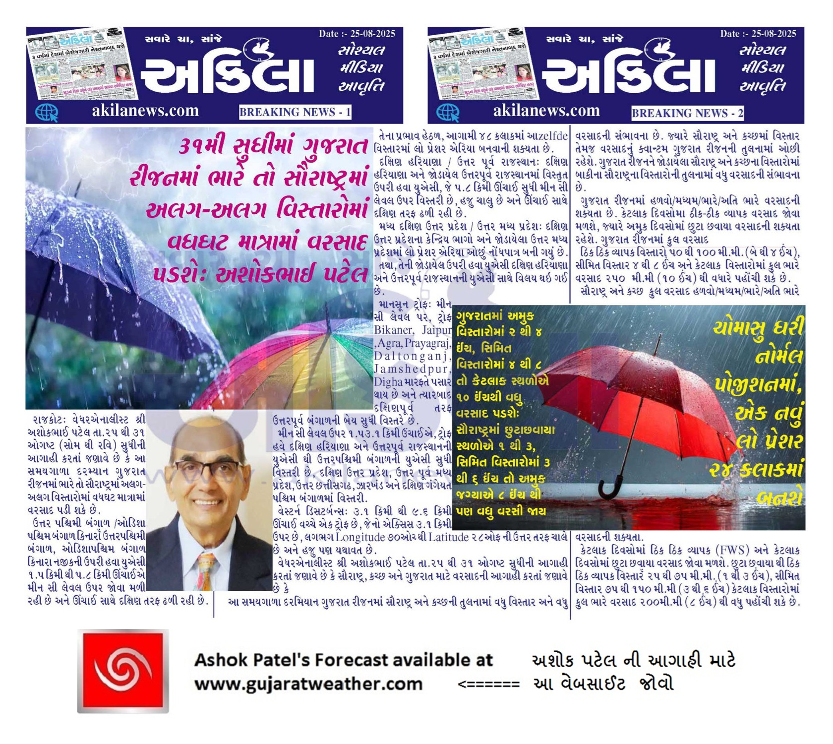
ગુજરાત રિજિયન માં ભારે વરસાદના ના રાઉન્ડ ની શક્યતા: 25th–31st August 2025 – સૌરાષ્ટ્રમાં અલગ અલગ વિસ્તાર માં વધ ઘટ માત્રામાં વરસાદની શક્યતા
હવામાન વિશ્લેષણ (0830 IST આધારે)
ઉત્તરપશ્ચિમી બંગાળ / ઓડિશા–પશ્ચિમ બંગાળ કિનારા:
ઉત્તરપશ્ચિમી બંગાળ, ઓડિશા–પશ્ચિમ બંગાળ કિનારા નજીકની ઉપરી હવા યુએસી 1.5 km થી 5.8 km ઊંચાઈએ મીન સી લેવલ ઉપર જોવા મળી રહી છે અને ઊંચાઈ સાથે દક્ષિણ તરફ ઢળી રહી છે.
તેના પ્રભાવ હેઠળ, આગામી 48 કલાકમાં આzelfde વિસ્તારમાં લોઅ પ્રેશર એરિયા બનવાની શક્યતા છે.
દક્ષિણ હરિયાણા / ઉત્તર પૂર્વ રાજસ્થાન:
દક્ષિણ હરિયાણા અને જોડાયેલ ઉત્તરપૂર્વ રાજસ્થાનમાં વિસ્તૃત ઉપરી હવા યુએસી, જે 5.8 km ઊંચાઈ સુધી મીન સી લેવલ ઉપર વિસ્તરી છે, હજુ ચાલુ છે અને ઊંચાઈ સાથે દક્ષિણ તરફ ઢળી રહી છે.
મધ્ય દક્ષિણ ઉત્તર પ્રદેશ / ઉત્તર મધ્ય પ્રદેશ:
દક્ષિણ ઉત્તર પ્રદેશના કેન્દ્રિય ભાગો અને જોડાયેલા ઉત્તર મધ્ય પ્રદેશમાં લોઅ પ્રેશર એરિયા ઓછું નોંધપાત્ર બની ગયું છે.
તથા, તેની જોડાયેલ ઉપરી હવા યુએસી દક્ષિણ હરિયાણા અને ઉત્તરપૂર્વ રાજસ્થાનની યુએસી સાથે વિલય થઇ ગઈ છે.
માનસૂન ટ્રોફ:
મીન સી લેવલ પર, ટ્રોફ Bikaner → Jaipur → Agra → Prayagraj → Daltonganj → Jamshedpur → Digha મારફતે પસાર થાય છે અને ત્યારબાદ દક્ષિણપૂર્વ તરફ ઉત્તરપૂર્વ બંગાળની બેય સુધી વિસ્તરે છે.
મીન સી લેવલ ઉપર 1.5–3.1 km ઉંચાઈએ, ટ્રોફ હવે દક્ષિણ હરિયાણા અને ઉત્તરપૂર્વ રાજસ્થાનની યુએસી થી ઉત્તરપશ્ચિમી બંગાળની યુએસી સુધી વિસ્તરી છે, દક્ષિણ ઉત્તર પ્રદેશ, ઉત્તર પૂર્વ મધ્ય પ્રદેશ, ઉત્તર છત્તીસગઢ, ઝારખંડ અને દક્ષિણ ગંગેયત પશ્ચિમ બંગાળમાં વિસ્તરી.
વેસ્ટર્ન ડિસટર્બન્સ:
3.1 km થી 9.6 km ઊંચાઈ વચ્ચે એક ટ્રોફ છે, જેનો એક્સિસ 3.1 km ઉપર છે, લગભગ Longitude 70°E થી Latitude 28°N ની ઉત્તર તરફ ચાલે છે અને હજુ પણ યથાવત છે.
સૌરાષ્ટ્ર, કચ્છ અને ગુજરાત માટે વરસાદની આગાહી
અવધિ: 25th to 31st August 2025
સામાન્ય દૃષ્ટિ:
આ સમયગાળા દરમિયાન ગુજરાત રિજિયનમાં સૌરાષ્ટ્ર અને કચ્છની તુલનામાં વધુ વિસ્તાર અને વધુ વરસાદની સંભાવના છે. જ્યારે સૌરાષ્ટ્ર અને કચ્છમાં વિસ્તાર તેમજ વરસાદનું ક્વાન્ટમ ગુજરાત રિજિયનની તુલનામાં ઓછી રહેશે. ગુજરાત રિજિયનને જોડાયેલા સૌરાષ્ટ્ર અને કચ્છના વિસ્તારોમાં બાકીના સૌરાષ્ટ્રના વિસ્તારોની તુલનામાં વધુ વરસાદની સંભાવના છે.
ગુજરાત રિજિયન :
(ગુજરાત રિજિયન એટલે નોર્થ ગુજરાત, મધ્ય પૂર્વ ગુજરાત અને દક્ષિણ ગુજરાત)
તીવ્રતા:
હળવો/મધ્યમ/ભારે/અતિ ભારે વરસાદની શક્યતા છે.
કેટલાક દિવસોમાં ઠીક ઠીક વ્યાપક વરસાદ જોવા મળશે, જ્યારે અમુક દિવસોમાં છુટા છવાયા વરસાદની શક્યતા રહેશે.
ગુજરાત રિજિયન – કુલ વરસાદ
-
ઠીક ઠીક વ્યાપક વિસ્તારો (FWS): 50 – 100 mm
-
સીમિત વિસ્તાર (Isolated): 100 – 200 mm
-
કેટલાક સીમિત વિસ્તારોમાં કુલ ભારે વરસાદ 250 mm થી વધારે પહોંચી શકે છે.
સૌરાષ્ટ્ર અને કચ્છ – કુલ વરસાદ
તીવ્રતા: હળવો/મધ્યમ/ભારે/અતિ ભારે વરસાદની શક્યતા.
કેટલાક દિવસોમાં ઠીક ઠીક વ્યાપક (FWS) અને કેટલાક દિવસોમાં છુટા છવાયા (Scattered) વરસાદ જોવા મળશે.
-
છુટા છવાયા થી ઠીક ઠીક વ્યાપક વિસ્તાર: 25 – 75 mm
-
સીમિત વિસ્તાર (Isolated): 75 – 150 mm
-
એકલ દોકલ વિસ્તાર માં વિસ્તારોમાં કુલ ભારે વરસાદ 200 mm થી વધુ પહોંચી શકે છે.
⚠️ Advisory
Caution: Please refer/rely on IMD/RSMC Bulletins/Advisories for Storms & Weather related matter.
સાવચેતી: સ્ટોર્મ કે હવામાન અંગે ની માહિતી માટે ભારતીય હવામાન ખાતા/ગવર્મેન્ટ ના બુલેટીન/સુચના પર નિર્ભર રહેવું.
Read Comment Policy – કમેન્ટ માટે માર્ગદર્શન વાંચો
How To Upload Profile Picture For WordPress – વર્ડપ્રેસ માં પ્રોફાઈલ પિક્ચર કેમ રાખવું
Forecast In Akila Daily Dated 25th August 2025
Forecast In Sanj Samachar Daily Dated 25th August 2025