Current Weather Conditions on 25th July 2013 @ 1.00 pm.
There has been fairly widespread rainfall over Saurashtra & Gujarat during the last two days.
As had been indicated yesterday that there is a relay of Low Pressures developing over the Bay of Bengal, mostly over Northwest Bay of Bengal; a new Low Pressure area has developed over Northwest Bay of Bengal and adjoining coastal areas of West Bengal & Odisha. The UAC extends to up to Mid-tropospheric levels, tilting southwestwards with height.
The earlier Low pressure area was located yesterday evening over West Madhya Pradesh and adjoining Southeast Rajasthan. This Low now lies over Madhya Pradesh, Rajasthan & U.P. border areas.
The axis of monsoon trough at mean sea level passes through Ganganagar, Narnaul, Center of earlier Low Pressure area, Ambikapur, Center of the fresh Low Pressure area and thence Southeastwards to East Central Bay of Bengal.
The off shore trough at mean sea level currently runs from South Gujarat coast to Lakshadweep area.
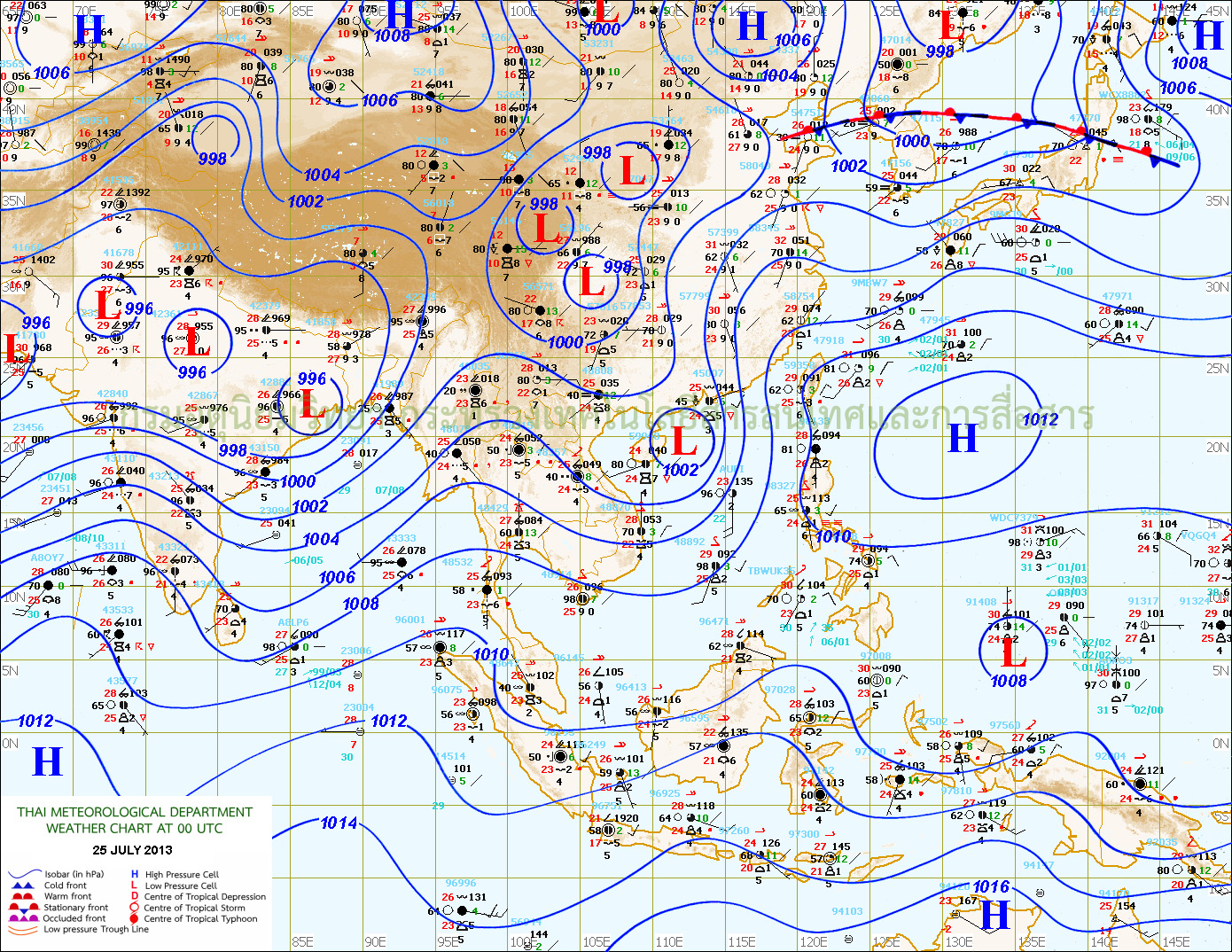
TMD Map showing Low Pressure Areas Dated 25th July 00 UTC (5.30 am. IST.)
As has been indicated a new Low Pressure or a UAC expected to develop before the end of this month.
Forecast: 25th to 28th July
Rainfall forecast for Saurashtra, Gujarat & Kutch has been given for this period yesterday and stands valid as yet. The only observation is that rainfall quantum would be light, medium & heavy in different places on different days. Now current possibility is more rain for West Coastal Saurashtra.