Trough from Bay Low’s Upper Air Circulation to Benefit Saurashtra, Kutch & Gujarat
(30th June–7th July 2025) – Monsoon Covered Entire Country Just Yesterday (28th June)
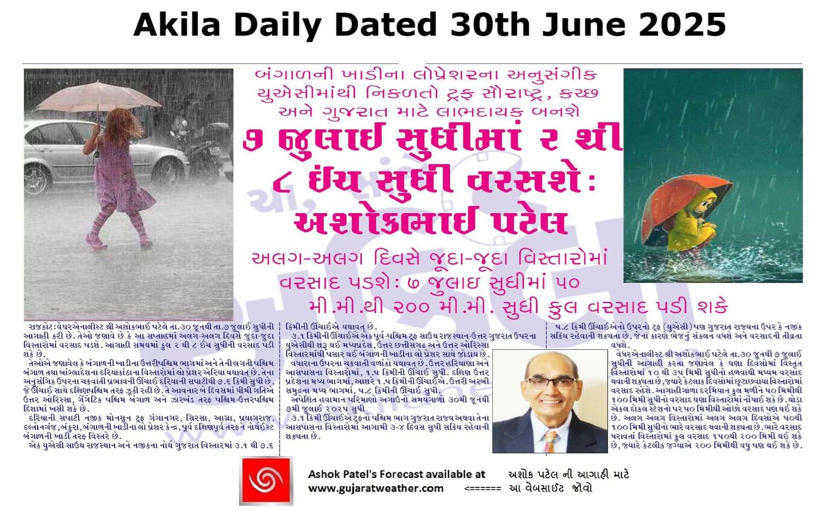
બંગાળની ખાડી ઉપરના લો પ્રેશરના અનુસંગિક યુએસીમાંથી નીકળતો ટ્રફ સૌરાષ્ટ્ર, કચ્છ અને ગુજરાત માટે આવનાર દિવસોમાં લાભદાયક (30 જૂન – 7 જુલાઈ 2025) – ગઈકાલે (28 જૂન) ચોમાસું સમગ્ર દેશમાં બેસી ગયું
Current Weather Conditions – 30th June 2025
-
-
Weather Synoptic Summary – 30th June 2025 (0530 hrs IST)
-
A low-pressure area persists over the Northwest Bay of Bengal and adjoining coastal regions of West Bengal and Bangladesh. The associated cyclonic circulation extends up to 7.6 km above mean sea level, tilting southwestward with height. It is expected to move slowly west-northwestwards across North Odisha, Gangetic West Bengal, and Jharkhand over the next two days.
-
The monsoon trough at mean sea level extends from Ganganagar → Sirsa → Agra → Prayagraj → Daltonganj → Bankura → the low-pressure center over Northwest Bay of Bengal, and further east-southeastward into the northeast Bay of Bengal.
-
An upper-air cyclonic circulation persists over south Rajasthan and adjoining north Gujarat, between 3.1 and 7.6 km above mean sea level.
-
An east-west trough, at 3.1 km above mean sea level, runs from the cyclonic circulation over south Rajasthan–north Gujarat to the low-pressure-associated circulation over Northwest Bay of Bengal, crossing Madhya Pradesh, north Chhattisgarh, and north Odisha.
-
Additional upper-air cyclonic circulations persist:
-
Over north Haryana and nearby areas, extending up to 1.5 km above mean sea level.
-
Over central parts of south Uttar Pradesh, at around 1.5 km elevation.
-
Over the central north Arabian Sea, extending up to 5.8 km above mean sea level.
-
-
-
Expected Weather Parameters
Forecast Period: 30th June to 7th July 2025
-
The western end of the trough at 3.1 km is expected to remain over or in the vicinity of Gujarat State for 3 to 4 days during the forecast period.
-
The upper-level trough or UAC around 5.8 km is also likely to remain active over or near Gujarat State, supporting moisture convergence and enhancing rainfall potential.
Rainfall Forecast for Saurashtra, Kutch & Gujarat
Period: 30th June to 7th July 2025
-
On many days, light to moderate rainfall (10 to 35 mm) is likely over fairly widespread areas with few days over scattered areas.
-
Cumulative rainfall during the forecast period may range from 50 mm to 100 mm over many areas. Some isolated stations could receive less than 50 mm.
-
Different Isolated pockets on few different days may receive heavy rainfall (50 to 100 mm)
-
Heavy rainfall areas, the total rainfall expected 150-200 mm with few centers exceeding 200 mm during the period.
બંગાળની ખાડી ઉપરના લો પ્રેશરના અનુસંગિક યુએસીમાંથી નીકળતો ટ્રફ સૌરાષ્ટ્ર, કચ્છ અને ગુજરાત માટે આવનાર દિવસોમાં લાભદાયક (30 જૂન – 7 જુલાઈ 2025) – ગઈકાલે (28 જૂન) ચોમાસું સમગ્ર દેશમાં બેસી ગયું
વર્તમાન હવામાન સ્થિતિ – 30મી જૂન 2025
હવામાન સિનોપ્ટિક સારાંશ – 30મી જૂન 2025 (પ્રભાતે 05:30 કલાકે IST)
બંગાળની ખાડીના ઉત્તરીપશ્ચિમ ભાગમાં અને તેની લાગતી પશ્ચિમ બંગાળ તથા બાંગ્લાદેશના દરિયાકાંઠાના વિસ્તારોમાં લો પ્રેશર એરિયા યથાવત્ છે. તેના અનુસંગિક ઉપરના ચક્રવાતી પ્રભાવની ઊંચાઈ દરિયાની સપાટીથી 7.6 કિમી સુધી છે, જે ઊંચાઈ સાથે દક્ષિણપશ્ચિમ તરફ ઝૂકી રહી છે. તે આવનાર બે દિવસમાં ધીમી ગતિએ ઉત્તર ઓરિસ્સા, ગેંગેટિક પશ્ચિમ બંગાળ અને ઝારખંડ તરફ પશ્ચિમ-ઉત્તરપશ્ચિમ દિશામાં ખસી શકે છે.
દરિયાની સપાટી નજીક મોનસૂન ટ્રફ ગંગાનગર → સિરસા → આગ્રા → પ્રયાગરાજ → દલ્તોનગંજ → બંકુરા → બંગાળની ખાડીના લો પ્રેશર કેન્દ્ર → પૂર્વ દક્ષિણપૂર્વ તરફ નેORTHઈસ્ટ બંગાળની ખાડી તરફ વિસ્તરે છે.
યુએસી સાઉથ રાજસ્થાન અને નજીકના નોર્થ ગુજરાત વિસ્તારમાં 3.1 થી 7.6 કિમીની ઊંચાઈએ યથાવત્ છે.
3.1 કિમીની ઊંચાઈએ એક પૂર્વ-પશ્ચિમ ટ્રફ સાઉથ રાજસ્થાન–ઉત્તર ગુજરાત ઉપરના યુએસીથી શરૂ થઈ મધ્યપ્રદેશ, ઉત્તર છત્તીસગઢ અને ઉત્તર ઓરિસ્સા વિસ્તારમાંથી પસાર થઈ બંગાળની ખાડીના લો પ્રેશર સાથે જોડાય છે.
વધારાના યુએસી યથાવત્ છે:
-
ઉત્તર હરિયાણા અને આસપાસના વિસ્તારોમાં, 1.5 કિમીની ઊંચાઈ સુધી.
-
દક્ષિણ ઉત્તર પ્રદેશના મધ્ય ભાગમાં, આશરે 1.5 કિમીની ઊંચાઈએ.
-
ઉત્તરી અરબી સમુદ્રના મધ્ય ભાગમાં, 5.8 કિમીની ઊંચાઈ સુધી.
અપેક્ષિત હવામાન પરિમાણો
અગાઉનો સમયગાળો: 30મી જૂનથી 7મી જુલાઈ 2025 સુધી
-
3.1 કિમી ઊંચાઈએ ટ્રફનો પશ્ચિમ ભાગ ગુજરાત રાજ્ય અથવા તેના આસપાસના વિસ્તારોમાં આગામી 3-4 દિવસ સુધી સક્રિય રહેવાની શક્યતા છે.
-
5.8 કિમી ઊંચાઈએનો ઉપરનો ટ્રફ (UAC) પણ ગુજરાત રાજ્યના ઉપર કે નજીક સક્રિય રહેવાની શક્યતા છે, જેના કારણે ભેજનું સંકલન વધશે અને વરસાદની તીવ્રતા વધશે.
આગાહી: સૌરાષ્ટ્ર, કચ્છ અને ગુજરાત
સમયગાળો: 30મી જૂનથી 7મી જુલાઈ 2025 સુધી
-
ઘણા દિવસોમાં ઠીક ઠીક વ્યાપક વિસ્તારોમાં 10 થી 35 મિમી સુધીનો હલકોથી મધ્યમ વરસાદ થવાની શક્યતા છે, જ્યારે કેટલાક દિવસોમાં છૂટાછવાયા વિસ્તારોમાં હલકોથી મધ્યમ વરસાદ રહેશે.
-
આગાહીગાળા દરમિયાન કુલ મળીને 50 મિમીથી 100 મિમી સુધીનો વરસાદ ઘણા વિસ્તારોમાં નોંધાઈ શકે છે. થોડા એકલ દોકલ સ્ટેશનો પર 50 મિમીથી ઓછો વરસાદ પણ થઈ શકે છે.
-
અલગ અલગ વિસ્તારોમાં અલગ અલગ દિવસોએ 50થી 100 મિમી સુધીનો ભારે વરસાદ થવાની શક્યતા છે.
-
ભારે વરસાદ ધરાવતાં વિસ્તારોમાં કુલ વરસાદ 150થી 200 મિમી થઈ શકે છે, જ્યારે કેટલીક જગ્યાએ 200 મિમીથી વધુ પણ થઈ શકે છે.
-
⚠️ Advisory
Caution: Please refer/rely on IMD/RSMC Bulletins/Advisories for Storms & Weather related matter.
સાવચેતી: સ્ટોર્મ કે હવામાન અંગે ની માહિતી માટે ભારતીય હવામાન ખાતા/ગવર્મેન્ટ ના બુલેટીન/સુચના પર નિર્ભર રહેવું.
Read Comment Policy – કમેન્ટ માટે માર્ગદર્શન વાંચો
How To Upload Profile Picture For WordPress – વર્ડપ્રેસ માં પ્રોફાઈલ પિક્ચર કેમ રાખવું
Forecast In Sanj Samachar Daily Dated 30th June 2025
Forecast In Sanj Samachar Daily Dated 30th June 2025