Update on 7th September 2018
Daily Rainfall figures are here
Gujarat Dam Rainfall figures are here
Gujarat Dam storage details are here
Meteorological features partly based on IMD Mid-Day Bulletin:
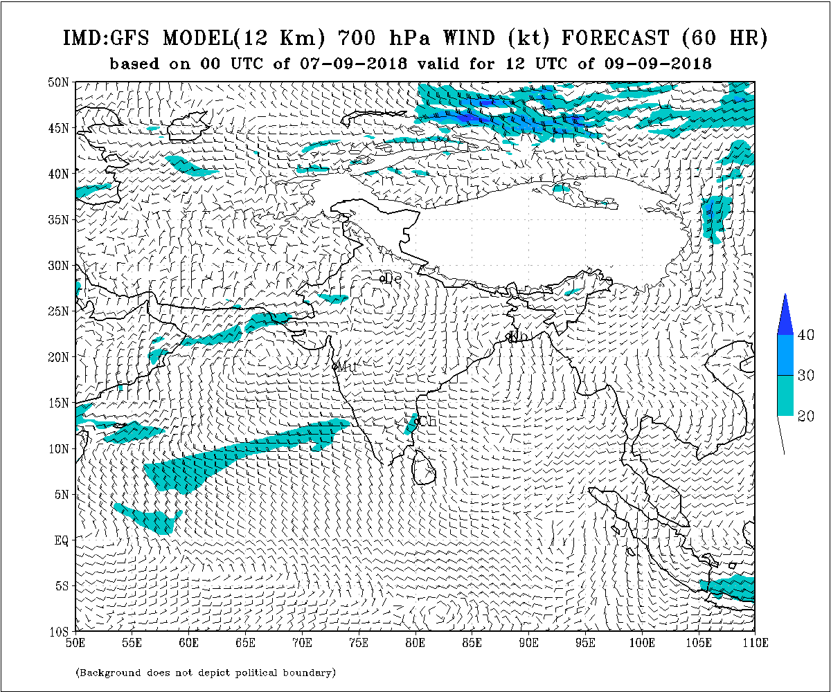
The Depression weakened to a Well Marked Low Pressure and lay centered at 1130 hrs IST of today, the 07th September, 2018 over North Chhattisgarh & neighborhood. It is very likely to move West Northwestwards and further weaken by tomorrow. On 9th only UAC of this System will exist around North Madhya Pradesh & neighborhood.
The Axis of Monsoon trough at mean sea level now passes through Ferozepur, Rohtak, Etawah, Allahabad, center of the WMLP over North Chhattisgarh & neighborhood, Balasore and thence towards Northeast Bay of Bengal. The trough from the Cyclonic Circulation associated with the WMLP over North Chhattisgarh now runs up to Punjab across South Uttar Pradesh and Haryana between 1.5 & 2.1 km above mean sea level.
There is a weak Cyclonic Circulation over Saurashtra/Gujarat and neighborhood at 3.1 km above mean sea level.
IMD BULLETIN NO. : 8 (BOB/06/2018) TIME OF ISSUE: 1300 HOURS IST DATED: 07.09.2018
નીચે આપેલ 2 પાના નું ડોક્યુમેન્ટ છે. પેજ અપ અને પેજ ડાઉન કરવા માટે પાના માં ડાબી બાજુ નીચે એરો ક્લિક કરો.
Here below is a 2 page Document. Click Page Up Down arrows at the bottom left corner on the Document page to read all the pages.
indian_1536330199
Saurashtra, Gujarat & Kutch: 8th to 11th September 2018
Gujarat:
Scattered showers/light rain/medium rain during the forecast period. More chances towards Rajasthan/Gujarat & Madhya Pradesh/Gujarat border areas.
Saurashtra:
Possibility of Scattered showers/light rain during the forecast period.
Caution: Please refer/rely on IMD/RSMC Bulletins/Advisories for Storms & Weather related matter.
હાલ ની પરિસ્થિતિ અને નિચોડ: 7 સપ્ટેમ્બર 2018
બંગાળની ખાડી ની સિસ્ટમ હવે વેલ માર્કંડ લો તરીકે નોર્થ છતીશગઢ પર છે અને નોર્થ એમપી બાજુ જશે. કાલ સુધી માં નબળું પડી સાદું લો થશે. તારીખ 9 સુધી માં ફક્ત યુએસી રહેશે. 1.5 કિમિ અને 2.1 કિમિ માં ટ્રફ આ ધરી નજીક વેલ માર્કંડ લો પ્રેસર ના યુએસી થી પંજાબ સુધી લંબાય છે.
આ સિસ્ટમ નો ફાયદો પૂર્વ રાજસ્થાન અને લાગુ એમપી સુધી થશે.
ચોમાસુ ધરી ફિરોઝપુર, રોહટક , અલ્લાહબાદ, વેલ માર્કંડ લો પ્રેસર સેન્ટર અને બાલાસોર અને ત્યાંથી નોર્થ ઇસ્ટ બંગાળ ની ખાદી સુધી લંબાય છે.
સૌરાષ્ટ્ર/ગુજરાત આસપાસ એક સામાન્ય યુએસી 3.1 કિમિ ના લેવલ માં છે.
વરસાદ ના આંકડા, ડેમ ઉપર વરસાદ ના આંકડા તેમજ ડેમ સ્ટોરેજ ની વિગત ઉપર લિંક માં આપેલ છે.
સૌરાષ્ટ્ર, ગુજરાત અને કચ્છ: તારીખ 8 થી 11 સપ્ટેમ્બર 2018
ગુજરાત માં છુટા છવાયા ઝાપટા/હળવો/મધ્યમ વરસાદ આગાહી સમય માં જેમાં વધુ શક્યતા રાજસ્થાન/ગુજરાત અને એમપી/ગુજરાત બોર્ડર વિસ્તાર માં.
સૌરાષ્ટ્ર માં છુટા છવાયા ઝાપટા/હળવો વરસાદ ની શક્યતા આગાહી સમય માં.
સાવચેતી:
સ્ટોર્મ કે હવામાન અંગે ની માહિતી માટે ભારતીય હવામાન ખાતા/ગવર્મેન્ટ ના બુલેટીન/સુચના પર નિર્ભર રહેવું.
