Current Weather Conditions on 3rd August 2013 @ 12.00 pm.
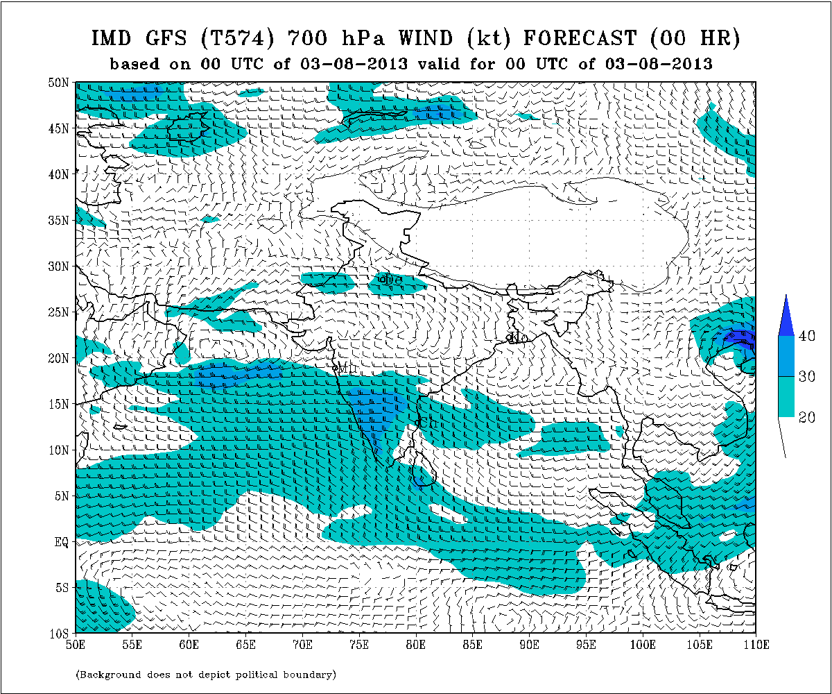
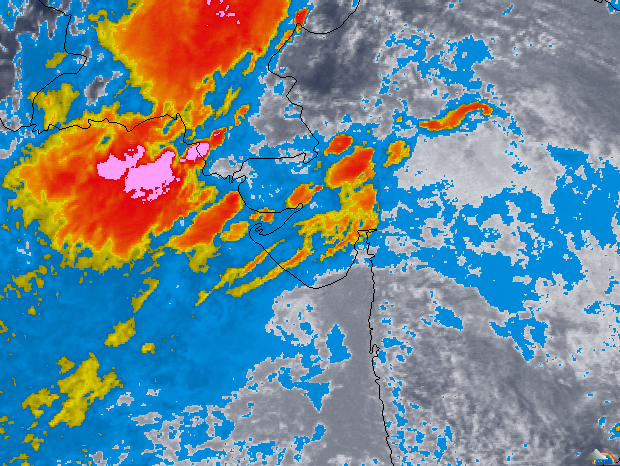
There has been a good round of rainfall over whole Gujarat, Saurashtra during 1st & 2nd August more so on 2nd August. The Low Pressure over Tri-State border areas of Rajasthan, M.P. and Gujarat has now tracked further Westwards and was over South Rajasthan Pakistan border areas. In effect it has merged with the Western End of Monsoon Axis to form elongated Low. The Upper Air Cyclonic Circulation Associated with this Low has slipped into the Northeast Arabian Sea and lay mainly over NE Arabian Sea & adjoining Western Saurashtra, Kutch & Sindh. East West shear zone lies over Rajasthan Gujarat border areas around 24N.
IMD 700 Mb. Chart Showing The UAC & East West Shear Zone
valid 3rd August 2013 00 UTC
 Wunderground Map Showing Clouding Associated With UAC
on 3rd August 11.30 am. IST
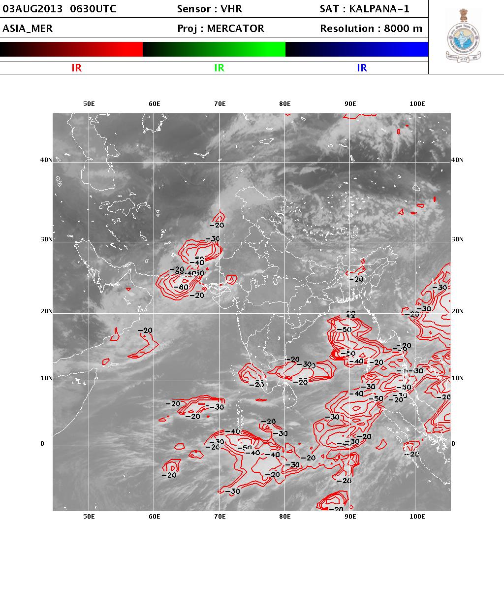
IMD Satellite Image Of High Clouds on 3rd August 2013 @ 12.00 pm. IST.
Forecast: 3rd August to 8th August 2013
The rain belt is expected to shift towards North Gujarat, Kutch, Western Saurashtra, & Sindh today. The quantum and areas of rain over rest of areas of Saurashtra & Gujarat is expected to decrease today. Only scattered showers expected from 4th August till end of forecast period over most parts of the State except South Gujarat where there would be scattered light to medium rain for one more day.
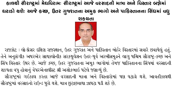
Weather Forecast In Akila Daily Dated 3rd August 2013 @ 11.00 am.


