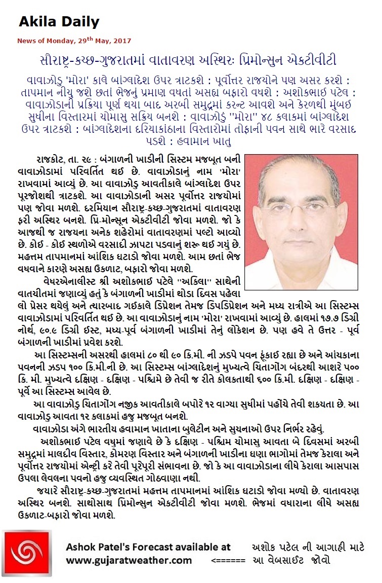
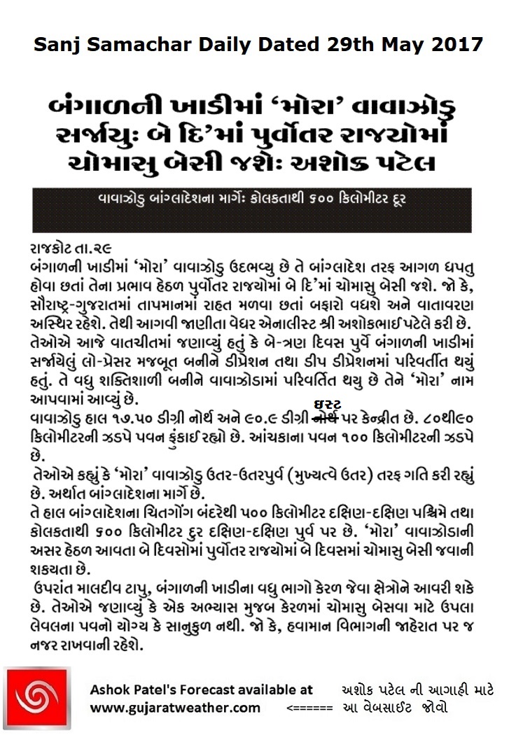
May 29th 2017
કમેન્ટ માટે માર્ગદર્શન:
1. ખરું ઈ મેઈલ એડ્રેસ હોઈ તો કમેન્ટ કરો.
2. આગળ સવાલો અને તેના જવાબ વાંચી ને તમારી કમેન્ટ કરો.
3. “અપડેટ ક્યારે થશે ?” તેવા સવાલ કરવા નહિ. સામાન્ય રીતે યોગ્ય લાગશે ત્યારે અપડેટ થશે.
4. હું લાંબા ગાળા ની આગાહી નથી કરતો માટે 7 દિવસ થી આગળ માટે આગાહી બાબત કમેન્ટ ના કરવી.
5. જેમ કે આ વર્ષે કેટલા ટકા વરસાદ થશે ? એવું પુઉછવું નહિ.
6. “મારા શહેર, કે ગામ માં વરસાદ ક્યારે થશે ?” તેવા સવાલ પૂછવા નહિ. સામાન્ય રીતે સૌરાષ્ટ્ર, ગુજરાત અને કચ્છ ના બહોળા વિસ્તારો ની આગાહી આપેલ હોઈ છે.
Guideline for Comments:
1. Please post comment if you have a valid email address.
2. Read earlier comments and their reply before posting any comment.
3. Do not ask question about when the update will take place. Usually as and when deemed fit update will be given.
4. I do not forecast for long term, so do not ask for any forecast beyond 7 days.
5. Hence, What will be percentage of rain this year in Gujarat ? This should not be asked.
6. Do not ask when it will rain in any city, town or village or city. Normally the forecast is given for broad areas of Saurashtra, Kutch & Gujarat.
As per IMD:
Southwest monsoon has further advanced into some parts of south Arabian Sea, Maldives-Comorin area and some more parts of SW, SE & EC Bay of Bengal. The Northern Limit of Monsoon (NLM) passes through 7.0°N/60.0°E, 7.0°N/70.0°E, 7.0°N/ 79.0°E, 11.0°N/ 86.0°E, 15.0°N/91.0°E & 18.0°N/ 94.5°E.
Present meteorological conditions indicate that conditions are favorable for onset of southwest monsoon over Kerala on 30th May. Simultaneously, onset is likely over most parts of northeastern states as well. Along with this, conditions are also favorable for further advance of southwest monsoon into some more parts of south Arabian Sea, Maldives-Lakshdweep area, most parts of Kerala, some parts of Tamilnadu, some more parts of southwest Bay of Bengal, eastcentral Bay of Bengal, remaining parts of southeast Bay of Bengal, and some parts of west central and north Bay of Bengal during the next 24 hours.
દક્ષિણ પશ્ચિમ ચોમાસુ દક્ષિણ અરબી સમુદ્ર, માલદીવ માં પહોંચ્યું – કોમોરિન વિસ્તાર અને બંગાળ ની ખાડી ના થોડા વધુ ભાગો માં આગળ ચાલ્યું.
આવતા 24 કલાક માં દક્ષિણ પશ્ચિમ ચોમાસુ હજુ દક્ષિણ અરબી સમુદ્ર , માલદીવ -કોમોરિન ના થોડા વધુ ભાગો, કેરલા, તામિલનાડુ ના થોડા ભાગો, બંગાળની ખાડી ના ઘણા ભાગો માં આગળ ચાલશે. સાથો સાથ પૂર્વોત્તર રાજ્યો ના મોટા ભાગો માં ચોમાસુ પહોંચે.
IMD Advance Of Southwest Monsoon Map
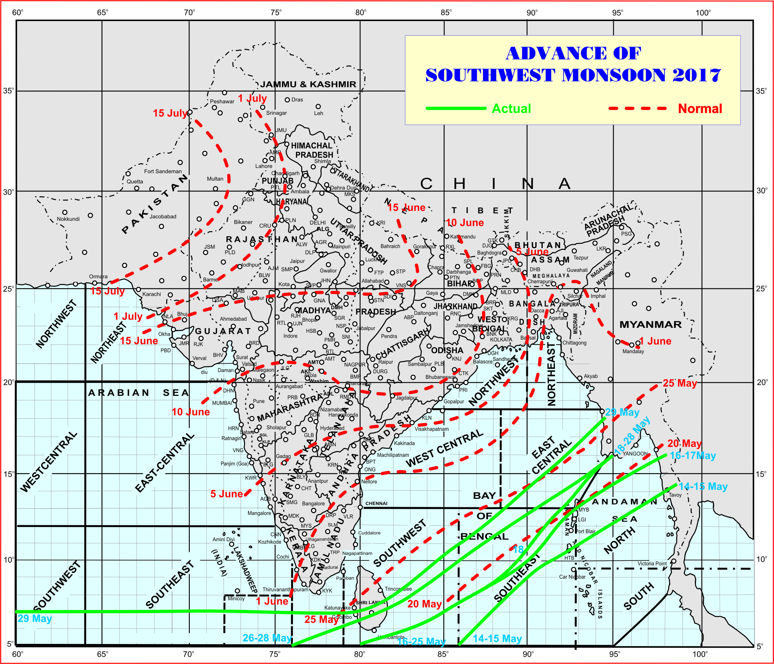
સૌથી ઉપર ની લીલી લીટી ના છેડે જે તારીખ હોઈ તે તારીખે લીટી ની નીચે ના ભાગ માં બધે ચોમાસું પોંચી ગયું છે તેમ સમજવું.
લાલ ત્રુટક લીટી જે તે વિસ્તાર માં નોર્મલ ચોમાસું બેસવાની તારીખ દર્શાવે છે
The date shown at the end of green line shows that the Southwest Monsoon has set in over areas below the green line on that date.
The red dashed line shows the normal date of onset of Southwest Monsoon over various regions.