Current Weather Conditions on 4th January 2017
The Maximum and Minimum Temperature over Saurashtra, Gujarat & Kutch have remained higher than normal for most parts of December. The Maximum was 2 to 4 C higher and Minimum about 1 to 2 C higher than normal.
A Western Disturbance is passing over Jammu & Kashmir and a fresh Western Disturbance will come over North India within 24 to 48 hours.
There is a Well Marked Low Pressure over the Andaman Sea. It is expected to strengthen further and will affect Andaman & Nicobar during the next few days.
Forecast:Saurashtra, Gujarat & Kutch 4th to 11th January 2017
The Maximum & Minimum Temperature is expected to remain slightly above normal 4th to 7th January. Western winds will blow from 5th and so foggy conditions will start from 5th and increase and fog will spread over large areas on 6th/7th January. The upper atmospheric instability will increase on 6th/7th January. The Temperature will be colder from 9th and cold conditions will increase on 10th/11th January.
Forecast: North India: 4th to 8th January2017
Western Disturbance to give rain over plains and snowfall over hilly regions of Jammu & Kashmir, Himachal Pradesh & Uttarakhand. WD will also give rain to North Indian States of Punjab, Haryana, Delhi & Rajasthan.
COLA/IGES 10 Days Meteogram For Rajkot Dated 4th January 2017
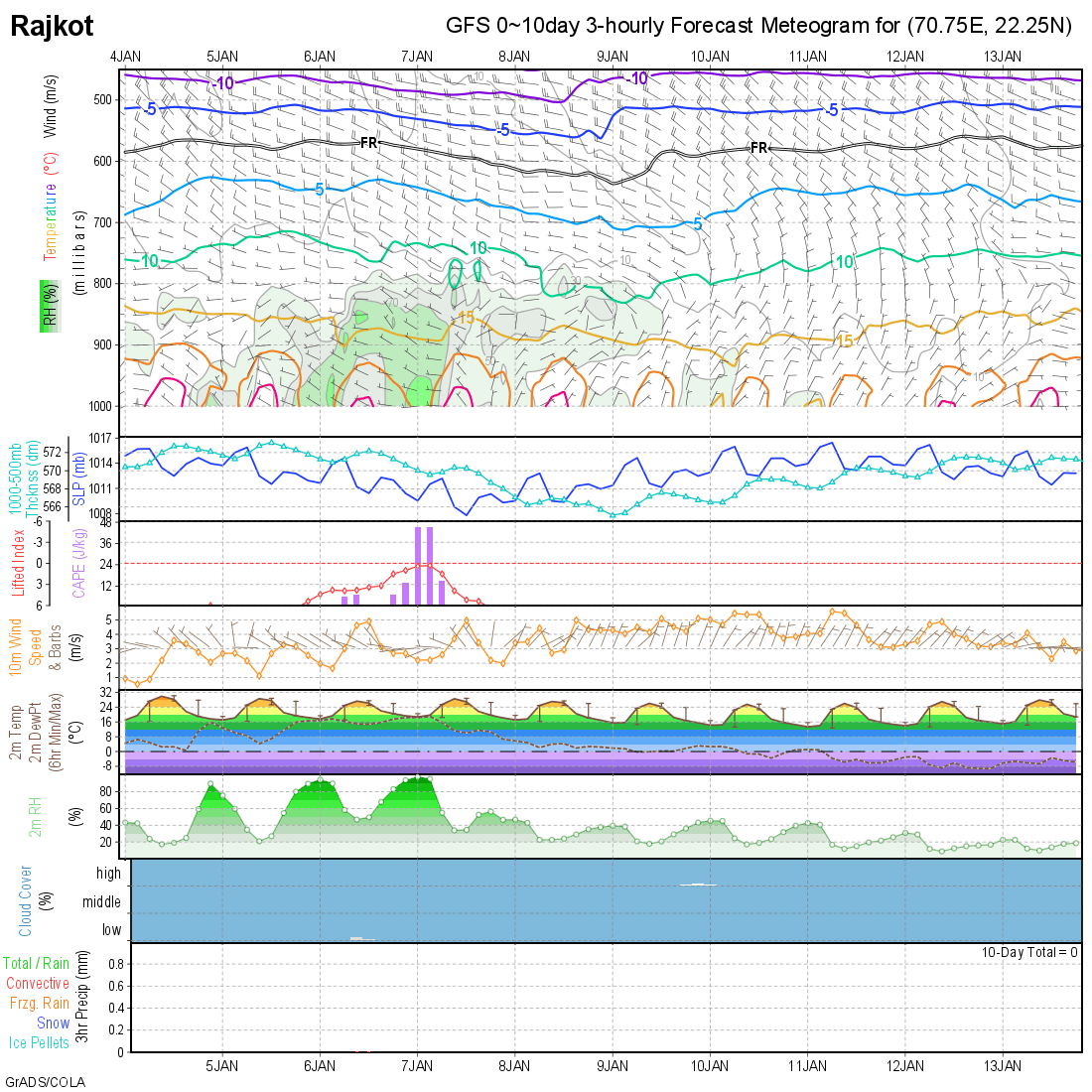
Note: When the dew point Temperature and the 2 meter Temperature comes close to each other there is high chances of Foggy conditions. The wind should be Westerly.
નોંધ: ઝાકળ જોવા માટે ની રીત
જો પશ્ચિમી પવન હોઈ અને સાથે ડ્યું પોઇન્ટ તાપમાન અને 2 મીટર નું તાપમાન નજીક આવે ત્યારે ઝાકળ ની શક્યતા હોઈ.
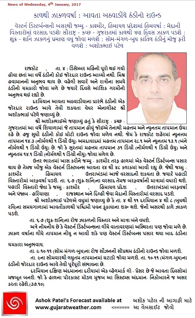
Weather Forecast In Akila Daily Dated 4th January 2017
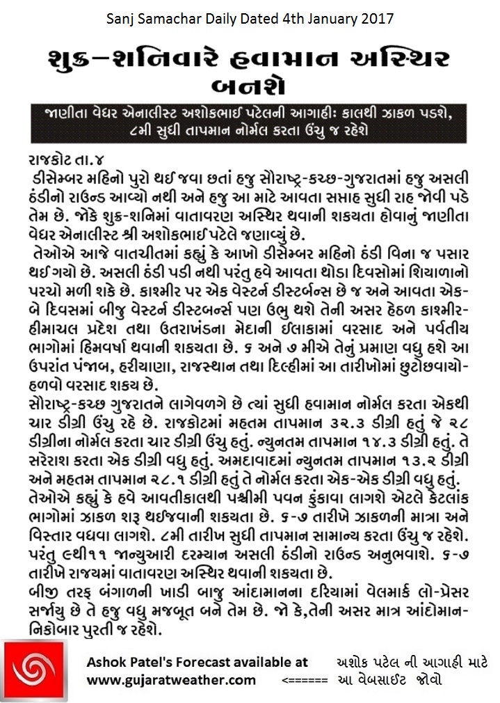
Weather Forecast In Sanj Samachar Daily Dated 4th January 2017