Current Weather Conditions on 26th February 2015
The Maximum Temperature as well as Minimum Temperature have Declines by 7 to 9 C during the last two days over most parts of Saurashtra, Kutch & Gujarat. The Maximum Temperature yesterday and the Minimum Temperature this morning at various locations were as follows (figures in the bracket is departure from normal):
Ahmedabad Maximum 29.5 C (-4) & Minimum 16.0 (Normal) C
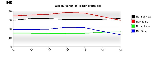
Rajkot Maximum 29.7 C (-2) & Minimum 13.5 C (-3)
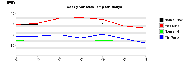
Naliya Maximum 26.0 C (-4) & Minimum 12.1 C (-2)
Deesa Maximum 27.8 C (-3) & Minimum 13.0 C (-1)
Weekly Temperature Variations For Rajkot Ending 26th February 2015
Weekly Temperature Variations For Naliya Ending 26th February 2015
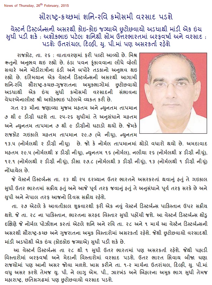
Weather Forecast In Akila Daily Dated 26th February 2015
Forecast: 26th to 1st March 2015
Saurashtra, Kutch & Gujarat:
COLA/IGES Precipitation Forecast Map
Valid for 24 hours ending 00 UTC 1st March 2015
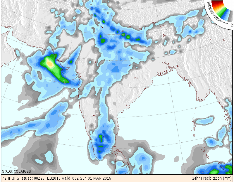
Due to the effects of a new Western Disturbance that will reach Pakistan and India border area on 28th February, there is a strong possibility of this System to give scattered showers or rain over Kutch, Saurashtra and parts of Gujarat on 28th February & 1st March. The Maximum as well as the Minimum Temperature is expected to remain near normal or below normal during the forecast period. See map above.
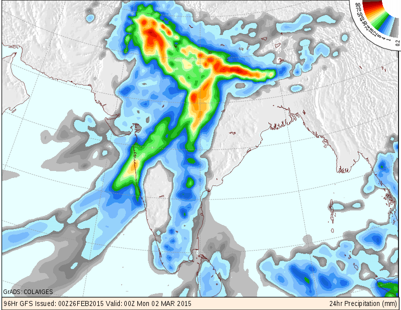
North India: 26th February to 2nd March 2015
COLA/IGES Precipitation Forecast Map Valid for 24 hours ending
00 UTC 2nd March 2015 (for 1st March)
COLA/IGES Precipitation Forecast Map Valid for 24 hours ending
00 UTC 3rd March 2015 (for 2nd March)
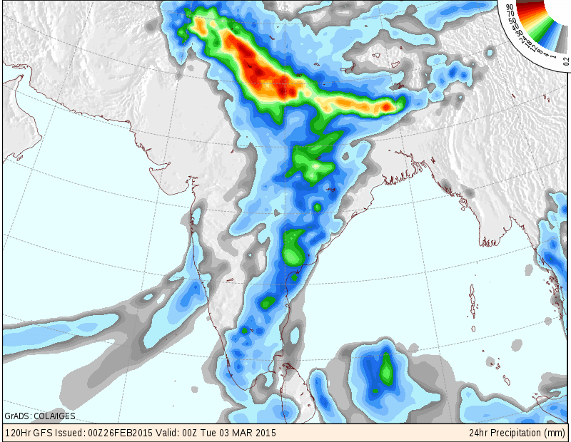
Fresh Western Disturbance will affect North India and U.P. M.P. Bihar, Jharkhand, Maharashtra, and adjoining States starting on 28th but mainly heavier precipitations on 1st & 2nd March 2015. See map above.
Scroll Up