Current Weather Conditions on 23rd October 2014 @ 7.00 am.
From IMD Inference issued at 1930 hours IST 22nd October:
The Low Pressure area over Southeast Arabian Sea and neighborhood persists. The System is likely to become Well Marked Low Pressure area during next 24 hours and further concentrate into a Depression during subsequent 48 hours. The trough at mean sea level extending from this System to Eastcentral Arabian Sea off Maharashtra coast also persists.
The Upper Air Cyclonic Circulation over Southwest Bay of Bengal off Srilanka coast and extending up to 3.1 kms. above mean sea level persists.
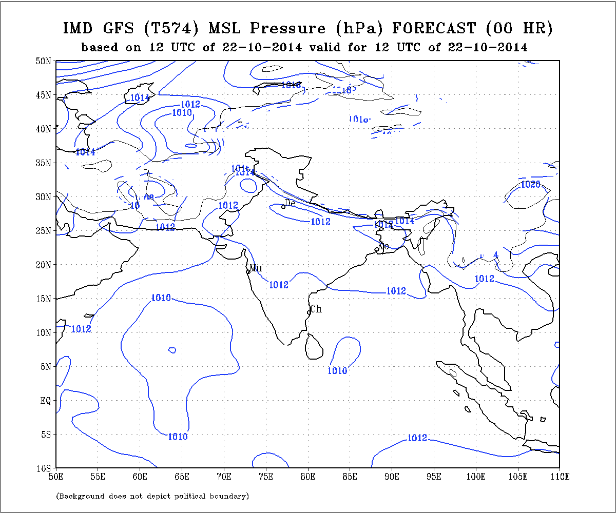
Observing the GFS MSLP charts the Low Pressure area is now at 1008 millibars.
IMD GFS (T574) MSLP Forecast Chart Valid 22nd October 2014 @ 00 UTC
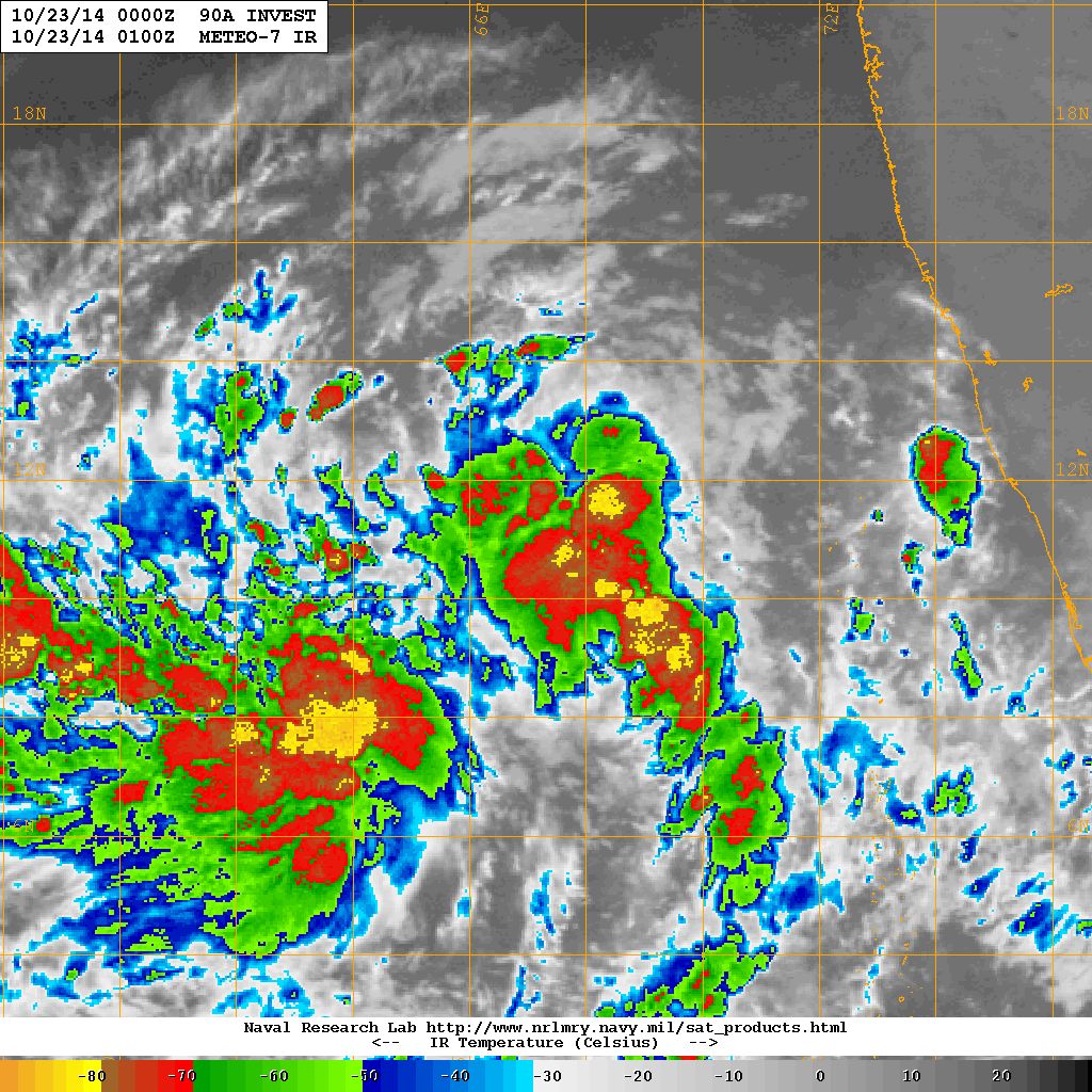
This system is being monitored by NRL from 22-10-2014 @ 1300 UTC as 90A.INVEST. Current location is Lat. 10.9 N & Long. 67.3 E with 20 knots and 1007 mb.
NRL IR Satellite Image Dated 23rd Ocotber 2014 @ 0100 UTC
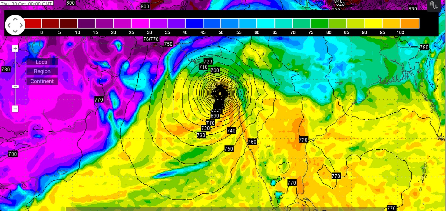
Two major Forecast models viz. GFS & ECMWF had very different outcome on the further developing as well as track for the System, however, the latest forecast run is now showing some agreement in the outcome. System could track towards Saurashtra/Gujarat. If two more forecast runs have similar outcome it would boost the forecast confidence.
Wunderground ECMWF 925 hPa Forecat Chart Valid 30th October 00 UTC
(based on ECMWF Forecast run dated 22nd October 12 UTC)
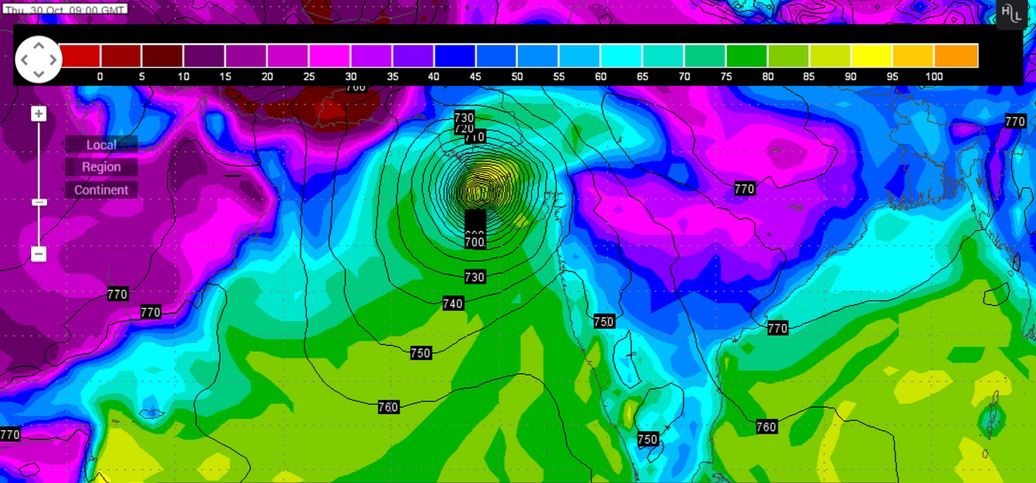
Wunderground GFS 925 hPa Forecat Chart Valid 30th October 09 UTC
(based on GFS Forecast run dated 22nd October 12 UTC)
Forecast: 23rd to 30th October 2014
ECMWF & GSF are now having similar outcome for the System developing in the South Arabian Sea. Forecast outcome can change and updates will be given as and when available. ECMWF tracks this as a strong System towards Gujarat & Saurashtra, so farmers should be cautious. Confidence in the final outcome is being built because of similar tracks for both these models. There is a possibility that Western Disturbance will affect the final outcome of the Arabian Sea System. Future WD during the forecast period could also affect the outcome.
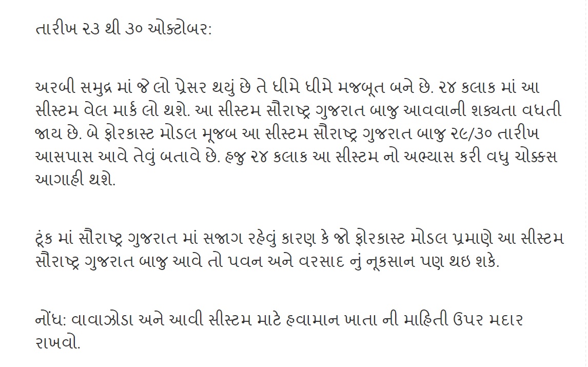
તારીખ ૨૩ થી ૩૦ ઓક્ટોબર:
અરબી સમુદ્ર માં જે લો પ્રેસર થયું છે તે ધીમે ધીમે મજબૂત બને છે. ૨૪ કલાક માં આ સીસ્ટમ વેલ માર્ક લો થશે. આ સીસ્ટમ સૌરાષ્ટ્ર ગુજરાત બાજુ આવવાની શક્યતા વધતી જાય છે. બે ફોરકાસ્ટ મોડલ મૂજબ આ સીસ્ટમ સૌરાષ્ટ્ર ગુજરાત બાજુ ૨૯/૩૦ તારીખ આસપાસ આવે તેવું બતાવે છે. હજુ ૨૪ કલાક આ સીસ્ટમ નો અભ્યાસ કરી વધુ ચોક્કસ આગાહી થશે.
ટૂંક માં સૌરાષ્ટ્ર ગુજરાત માં સજાગ રહેવું કારણ કે જો ફોરકાસ્ટ મોડલ પ્રમાણે આ સીસ્ટમ સૌરાષ્ટ્ર ગુજરાત બાજુ આવે તો પવન અને વરસાદ નું નૂકસાન પણ થઇ શકે.
નોંધ: વાવાઝોડા અને આવી સીસ્ટમ માટે હવામાન ખાતા ની માહિતી ઉપર મદાર રાખવો.
Scroll Up